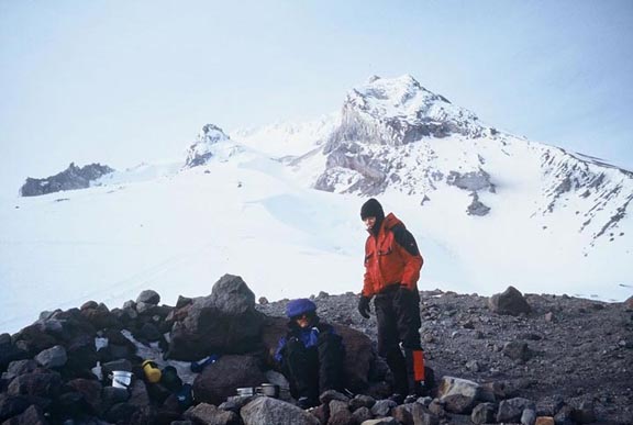
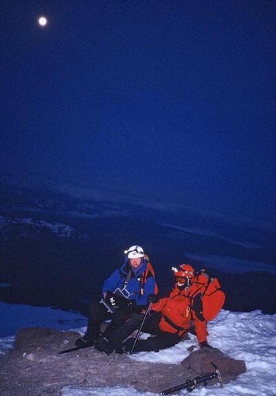
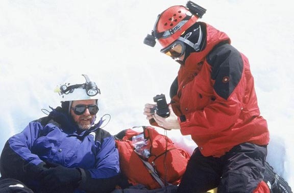
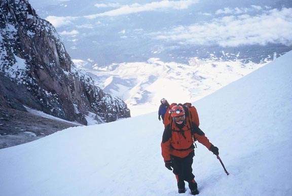
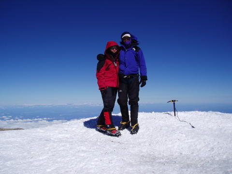
At 3am, after getting NO sleep, I (Janet) looked at Ric and said that I wasn’t going. When he asked me why, I replied that I was miserable, I was freezing and I had to pee. (Nature’s call can be an ordeal for us ladies at times.) Ric tells me that I looked like some sort of wild animal. Anyway, after relating this to him, I got up, got dressed and didn’t say another word about not going. I figured surely it would be called off because of the wind. Not so. Actually, after we got moving up the mountain, it wasn’t that bad, until we got to the HogsBack (the final ridge up to the summit). We were suddenly buffeted by about 30 knot gusts of wind that knocked me to my knees. As we’re starting up the final push to the summit, I yelled at Ric and began shaking my head wildly (I was trying to tell himI didn’t want to go any further). He just turned around and ignored me. I guess he figured ‘we’re not getting this close just to turn around’. So up we wentand claimed the summit of Mt. Hood.
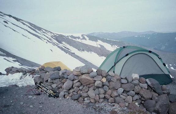
Our humble abode. Building the rock wall was fun, too.
knife-edge snow ridge leading toward the summit.
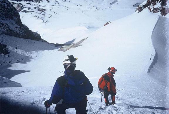
Descending toward the ‘Hogsback.’ Coming up, we were buffeted by 30 knot gusts and blasts of ice crystals to the face that felt more like needles, threatening to knock us into the ‘Devil’s Kitchen’ below. This picture is taken just above where the fatal accident occurred in 2002 involving a rescue helicopter crash caught on video and played endlessly on tv. The helo crash was just to the right of the knife edge where you see the tiny figures of two climbers.
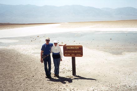
After leaving Mt. Hood, we drove to Bend, Oregon and visited Ric’s cousin Janet and her husband Alan. They hadn’t seen each other in over 30 years. We had a wonderful, relaxing day with them. Had a picnic by a beautiful river followed by a delicious dinner that cousin Janet prepared for us in her gourmet kitchen. They have the most beautiful home overlooking the mountain range surrounding Bend. After leaving Mt. Hood, we flew to Vegas and promptly got ‘the H’ out of dodge! What a place! We headed for Death Valley and the awesome natural sights of this famous desert. After leaving Death Valley, we spent the night near Dyer, Nevada. The only place we could find (weren’t up to the tent) was a motel/casino. We went in to get some dinner at the restaurant in the casino, but it had already closed for the day. So we bellied up to the bar for a couple of hot dogs, but they were out of them. Obviously starving, the girl behind the bar took pity on us, said she had a little chili left and split it between us. She also brought us some chips and sodas, then didn’t even charge us for any of it! After over hearing her comment to her friend that her husband might look like Charles Manson (which he did) but that he’s really a nice guy, I thought to myself that, YES, looks can be deceiving. The room was even very nice and clean. You sure wouldn’t have thought so from the looks of the place.
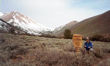
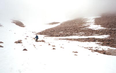
The next morning brought more self inflicted torture: Boundary Peak. After reading all the highpointers guides, and looking at the thing, we decided the shortest distance between two points is a straight line: we headed right up the face of the thing! We did okay going up the scree slope, but gradually it became steeper and then snow and ice covered with an angle of about 60 degrees. Sixty degrees is steep especially when you would fall for a thousand feet down the slope if you made one bad step. I’m glad I was breaking trail, because Ric said he was so scared watching me climb that slope that he had goose bumps all over. Had it been the other way around, I’m not sure I would have followed. We then reached the summit only to experience a white out. On the way down, I fell on the scree slope and got the mother of ALL bruises. This bruise had nothing on my caving bruises. We even took a photo of it for posterity (however, it was in a very strategic spot and we couldn’t air the photo on the site). We were able to glissade a good part of the way down. Then the trail ended. We got way over to the left of the trail and slogged our way through swampy muck, all the while thinking we were lost. Our boots were full of snow from the glissading, and now were full of freezing mush on top on the snow. I thought I was going to get frostbite! We finally made it to the truck, and headed for the nearest motel (still not up to camping).
On to Yosemite . . .
the west is Mt. Whitney, the highest point in the lower 48.
been on.
only to have another one hit us on the summit.

