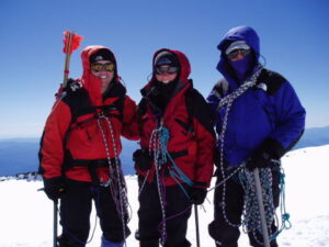
We have continually underestimated Rainier for four trips over the last five years, so this time, we decided to do some things differently. In Key Largo, our training consisted of running three to six miles three times a week and walking up and down a short, 45 degree wooden ramp carrying 50 pounds for up to an hour three times a week. Prior to going to Rainier, we flew to Leadville, Colorado, which is at 10,200 feet. We felt we needed to acclimate far better than we had in the past and Leadville seemed like a good place to do that. We spent a week there climbing Mt. Elbert twice and Mt. Sherman once, both over 14,000 feet. These mountains are really just big hikes on a well-defined trail with no glaciers and no real danger. We stayed at a hotel in downtown Leadville called the Delaware, built in the late 1800s, a really nifty old place. Carrying the luggage up just one flight of stairs was a shock, we could hardly catch our breath. We climbed every other day and went running on alternate days and the acclimatization seemed to go really well. Janet and I then flew out to Washington State and met a friend who has more mountain experience than us. Chris is the one that gave us the High Point idea, damn him. He has climbed Denali and Aconcagua in South America. We (and he, too) were a little worried how well he would do with no acclimatization.
We hiked the three miles into a campsite called Glacier Basin for the first night, which only took about two hours, without much elevation gain, but the packs seemed very heavy, probably 55 pounds or so. The next morning, we evaluated what we were carrying and left some food and gear on a bear pole, then left for Camp Shurman at 9,600 feet. The route up the Inter Glacier was uneventful other than a couple of white-outs that didn’t last very long. There was much less snow this year than last and there was a large area that was hard, blue ice which we had to skirt around. We made it to Shurman in good shape, pitched our tent, melted some snow, ate, went to sleep and rested the next day. After trying to get some sleep, which I couldn’t, we got up at 10:30 pm and left camp at midnight. The route is no more than about three miles, but much of it is very steep. I was nearly petrified for long stretches of 45 degree stuff where the boot track was only six inches wide. One miss-step by any of us could have been the death of all three. I swore I would never put myself in that much danger again. The Emmons Glacier route is the safest and least technical route on Rainier, so there aren’t very many fatalities, but believe me, it still kept us very focused. There are only two pictures made during the climb. About an hour into it, Chris got sick and puked for a couple of minutes on the trail, but he said he was ok and kept going. We were worried he might get sicker, I know he wasn’t feeling great, but he toughed it out. We made it to the top at eleven am, eleven hours after the start. We were the first group to make it to the top. It was very windy and cold on top, so I was ready to go back down within minutes of getting there. Some of the steep slopes on the way down were even hairier than on the way up. The snow and ice had grown slushier and the footing was far trickier. The acclimatization trip to Leadville was crucial, but Janet and I might not have made it on our own without Chris. He did some route finding that Janet and I might have had trouble with. It took another six hours to get down. From there it took another eight hours to get back down to the car even with several nice, long glissades on the Inter Glacier. That is a total of 25 hours of hiking/climbing. I’ve never been so near complete exhaustion and near delirium in my life and on top of that, my big toes took a painful beating every step of the way and will certainly lose the nails. It was 44 hours since I slept. The last five hours were in the dark on a remote trail with lots of very fresh bear scat on it. The last couple of hours I would have welcomed a bear attack, but it never came.
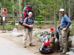
Ric and Chris at the Glacier Basin Trailhead.
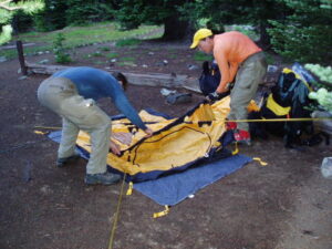
Glacier Basin tentsite.
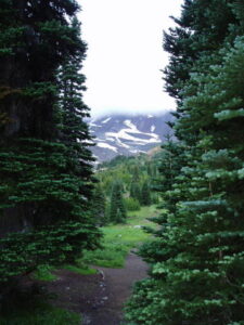
View from Glacier Basin towards Inter Glacier.
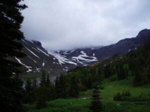
A closer view from Glacier Basin towards Inter Glacier.
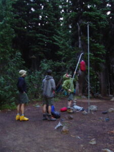
There are bears in the area, so hanging your food is a must. This task is more difficult than it looks. When you get the bag up high, it wants to wander and wobble around and is very hard to get the string on the bag over the peg. It is hilarious to watch.
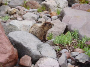
Marmots seem to be everywhere.
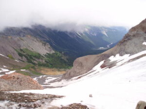
Looking from the Inter Glacier toward Glacier Basin.
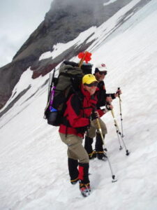
Paused on the Inter Glacier.
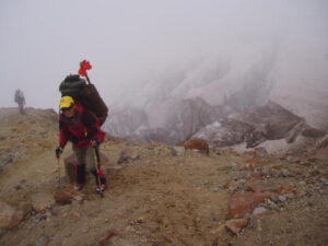
Near Camp Curtis with Emmons Glacier crevasses in background.
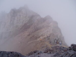
Ranger hut and privy at Camp Shurman with the face of Steamboat Prow behind.
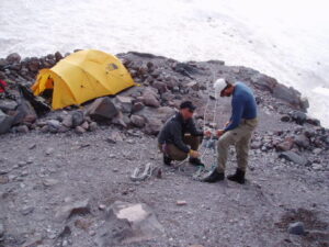
Ric and Chris getting the gear together.
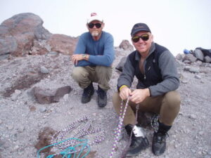
Ric and Chris.
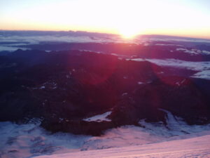
Dawn on the Emmons Glacier.
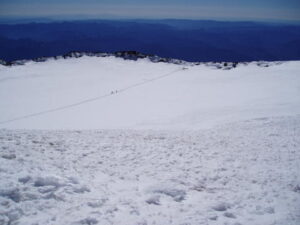
Looking down from the true summit of Mt. Rainier into the crater bowl.
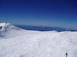
Mount St. Helens in the background.
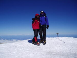
Ric and Janet on the summit.
Success after five attempts. Thanks, Chris.

